OpenZhenZhen AI 提示词画廊 · gpt-image-2.5 · image
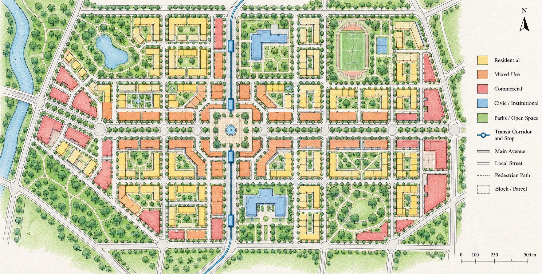
精细笔触描绘的城市规划蓝图
A City Planning Blueprint in Fine Brushstrokes
以俯视手绘规划图表现一个紧凑、宜步行的混合功能城区,清楚区分街道、功能分区、公共交通节点与开放空间;作为概念方案而非真实地块测绘。
提示词 / Prompt
中文提示词
为一个紧凑、宜步行的混合功能城区绘制一张清晰的手绘城市规划图。采用正上方正交俯视视角,在干净浅色纸面上呈现完整城区。组织易读的道路层级:少量主干道、彼此连通的支路、步行路径和清楚划分的街区。使用克制且彼此区分的彩铅或水彩色块,标示居住、混合用途、公共服务、商业以及绿地/开放空间。将小型中心广场、社区公园、学校或公共服务建筑,以及带少量站点的简明公共交通走廊作为概念规划元素。加入细致手绘线条、整齐的街区边界、指北针和简洁比例尺,整体均衡易读。明确这是示意性概念方案,并非经过测绘或地理精确的真实城市规划图。不出现人物、写实建筑照片、装饰性透视视图、密集文字、虚构地名、标志或水印。
English prompt
Create a clear hand-drawn urban planning map for a compact, walkable mixed-use district. Show the entire district from a directly overhead orthographic viewpoint on a clean light paper ground. Organize a legible street hierarchy with a few main avenues, connected local streets, pedestrian paths and clearly defined blocks. Use distinct, restrained colored-pencil or watercolor washes to differentiate residential, mixed-use, civic, commercial and green/open-space zones. Include a small central public square, neighborhood parks, a school or civic building, and a simple public-transit corridor with a few stops as conceptual planning elements. Add subtle hand-drawn linework, neat parcel/block boundaries, a north arrow and a simple scale bar, keeping the layout balanced and easy to understand. Treat this as an illustrative concept, not a surveyed or geographically accurate real-city plan. No people, photorealistic buildings, decorative perspective view, dense text, fabricated place names, logos or watermark.
探索更多图片和视频提示词 · 生成图片 · 生成视频 · 在 AI 画布中创作
相关作品
- 成年拉丁裔女性钟表匠 · 舞台聚光
Moss Image 原创创意图集|舞台聚光|成年拉丁裔女性钟表匠。原创提示词生成。
- 海绵宝宝 · 运动凝固
Moss Image 原创创意图集|运动凝固|海绵宝宝。原创提示词生成。
- 加菲猫 · 红外假色
Moss Image 原创创意图集|红外假色|加菲猫。原创提示词生成。
- 蓝瓷茶机器人 · 钢笔线描
Moss Image 原创创意图集|钢笔线描|蓝瓷茶机器人。原创提示词生成。
- 成年欧洲男性制琴师 · 运动凝固
Moss Image 原创创意图集|运动凝固|成年欧洲男性制琴师。原创提示词生成。
- 卡比兽 · 慢门追焦
Moss Image 原创创意图集|慢门追焦|卡比兽。原创提示词生成。